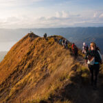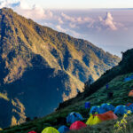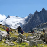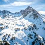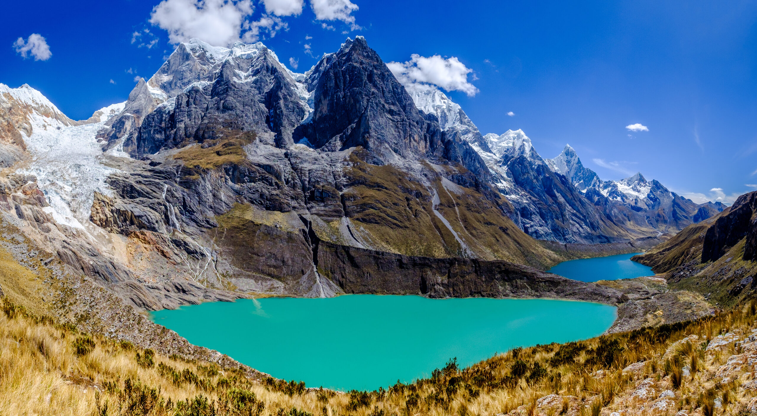
The Huayhuash Circuit is a loop of roughly 130 kilometres around one of the most compact and dramatic mountain ranges in the Andes. Every night is spent above 4,000 metres, almost every day crosses a pass between 4,700 and 5,000 metres, and the views of Yerupajá and Siula Grande are among the finest in South America.
The Cordillera Huayhuash sits south of the better-known Cordillera Blanca in Peru’s Ancash region. It is only about 30 kilometres long, but it packs in six peaks above 6,000 metres, including Yerupajá (Peru’s second-highest mountain) and Siula Grande, made famous by Joe Simpson’s book and film Touching the Void. There are no roads inside the range, no lodges and no hotels. You camp beside glacial lakes, cross high passes on foot and pass through a handful of small Andean villages.
That remoteness is the reason people come, and the reason the trek deserves careful planning. This guide covers the route, the passes, difficulty and altitude, the best time to go, community fees and logistics, and how to decide between a guided and an independent trek.
What Makes the Huayhuash Trek Different
Many classic treks follow a valley up to a viewpoint and back. Huayhuash goes all the way around a mountain range, so the scenery keeps changing: turquoise lakes below hanging glaciers on the east side, high puna grassland in the south, and the steep west faces of Yerupajá and Jirishanca near the end.
Three things set it apart:
- Sustained altitude. Campsites sit between roughly 3,800 and 4,400 metres. You never really get a break from the thin air.
- Many high passes. Most trekking days cross at least one pass between 4,600 and 5,000 metres, with several hundred metres of ascent and descent each day.
- Community land. The circuit crosses the territory of around eight local communities, which charge small fees and manage the campsites.
The Route at a Glance
Most treks start from Huaraz (about 3,050 m), the mountain town that serves both the Cordillera Blanca and Huayhuash. From there it is a drive of several hours to the trailhead near Llamac or Cuartelhuain. The classic loop runs clockwise and ends at Laguna Jahuacocha and the villages of Llamac or Pocpa.
This is how we walk the circuit on our Cordillera Huayhuash Trek, with eight trekking days after four days of acclimatisation in Huaraz:
| Day | Stage | Pass | Camp |
|---|---|---|---|
| 1 | Cuartelhuain – Mitucocha | Cacanan Pass (about 4,700 m) | Mitucocha (about 4,150 m) |
| 2 | Mitucocha – Carhuacocha | Alcaycocha Pass (about 4,700 m) | Carhuacocha (about 4,150 m) |
| 3 | Carhuacocha – Huayhuash | Siula Pass (about 4,800 m) | Huayhuash (about 4,350 m) |
| 4 | Huayhuash – high camp | Trapecio Pass (about 5,000 m) | High valley camp (about 4,400 m) |
| 5 | High camp – Huayllapa | San Antonio viewpoint (above 5,000 m) | Huayllapa (about 3,600 m) |
| 6 | Huayllapa – Gashpapampa | Tapush Pass (about 4,800 m) | Gashpapampa (about 4,300 m) |
| 7 | Gashpapampa – Jahuacocha | Yaucha Pass (about 4,800 m) | Jahuacocha (about 4,000 m) |
| 8 | Jahuacocha – Pocpa – Huaraz | Punta Jahuacocha (about 4,700 m) | Back in Huaraz |
Altitudes are approximate. Different maps and sources give values that differ by up to 100 metres, and the exact line varies with conditions and the variant you choose.
Highlights Along the Way
Carhuacocha
For many trekkers this is the most beautiful campsite of the circuit. The lake sits directly below Yerupajá and Jirishanca, and on a calm morning the peaks are reflected in the water.
The Three Lakes and Siula Pass
The climb from Carhuacocha towards Siula Pass passes a viewpoint over three glacial lakes lined up beneath Siula Grande and Yerupajá. This is the face where the Touching the Void story took place, and it is one of the classic photographs of the Andes.
San Antonio
The highest point of our route. On a clear morning the view takes in Siula Grande, Yerupajá and the glaciers of the southern part of the range, before a long descent into the green Cutatambo valley and the village of Huayllapa.
Jahuacocha
The last camp lies beside a lake under the west faces of Yerupajá and Jirishanca. After a week of high passes it is a fitting place to finish.
How Difficult Is the Huayhuash Trek?
Huayhuash is a non-technical trek on the classic route: no ropes, crampons or climbing skills are needed in a normal dry season. It is still one of the more demanding treks in South America, for three reasons.
- Altitude. You sleep above 4,000 metres most nights and cross passes up to around 5,000 metres. Poor acclimatisation is the main reason people struggle or turn back.
- Daily effort. Typical days involve 5 to 8 hours of walking with 600 to 1,200 metres of ascent and a similar descent. Some descents from the passes are steep and loose.
- Cumulative fatigue. One hard day is manageable. Eight in a row at altitude, sleeping in a tent in sub-zero night temperatures, is what makes the circuit tough.
If you have done multi-day treks in the Alps and are comfortable walking 6 to 8 hours on consecutive days, Huayhuash is realistic. If it would be your first trek above 3,000 metres, read our guide on preparing for your first trek above 4,000 metres first.
Acclimatisation: the Part You Cannot Skip
Most problems on Huayhuash start before the trek, when people arrive in Huaraz and leave for the trailhead a day later. Huaraz itself is above 3,000 metres, and the first camp is over 4,000 metres.
A sensible plan is three to four days in and around Huaraz before the trek, with day hikes that go progressively higher and return to sleep in town. On our trip we use an easier hike above Huaraz first, then a full day to the Churup lake at about 4,500 metres, before a preparation day and the drive to the trailhead.
On the trail, the usual rules apply: walk slowly on the climbs, drink plenty, and take symptoms seriously. Headache and poor sleep are common at first. Worsening headache, vomiting, confusion or breathlessness at rest mean you need to descend.
Best Time to Trek Huayhuash
The trekking season follows the Andean dry season, roughly May to September.
- June to August usually brings the most stable weather and the clearest views. It is also the coldest period, with frosty nights at the high camps.
- May and September are quieter but less predictable, with a higher chance of afternoon showers or snow on the passes.
- October to April is the wet season. Trails turn boggy, the passes can be snowbound and views are often hidden in cloud. We do not recommend it.
Even in the dry season, expect at least one day of rain, hail or snow. Pack for winter conditions at night.
Community Fees and Logistics
Community fees
The land around the circuit belongs to local communities, and each one charges a fee as you pass through its territory. In recent seasons the total has been roughly 280 to 350 Peruvian soles per person, paid in cash at checkpoints or campsites. Keep your receipts, because you may be asked to show them again further along the route. The fees go to the communities and help maintain the campsites. On our trip these fees are not included in the price, so bring enough soles in small notes.
Getting there
From Lima, the usual route to Huaraz is an overnight or day bus of around eight hours. From Huaraz to the trailhead it is a further drive of several hours. Most groups use private transport, which is faster and more reliable than local buses.
Camping, water and supplies
There are no lodges on the circuit. You camp at designated community campsites, some with basic toilets. Water comes from streams and lakes and must be filtered or treated. Huayllapa, at roughly the halfway point, is the only village with a small shop. On a supported trek, mules carry the tents, food and kitchen, and a cook prepares all meals.
Insurance
Check that your travel insurance covers trekking up to at least 5,500 metres and helicopter evacuation. Many standard policies stop at 3,000 or 4,000 metres. Most of the route has no phone signal, and rescue in the range depends on the weather.
Guided or Independent?
Huayhuash can be trekked independently, and experienced trekkers do it every season. It means carrying a heavy pack over 5,000-metre passes, navigating without trail markers, and handling everything yourself if something goes wrong in a place without phone coverage.
Most people choose a supported trek: a guide who knows the route and the weather patterns, a cook, and a muleteer with pack animals. Your daily load drops to a light daypack, which matters a great deal at altitude, and you can spend your energy on the walking and the views.
Common Mistakes on the Huayhuash Trek
- Too little time in Huaraz. Rushing acclimatisation is the single biggest risk on this trek.
- Underestimating the cold. Nights at 4,300 metres regularly drop well below zero. A warm sleeping bag and a proper down jacket are essential.
- Not enough cash. Community fees are paid in soles, and there are no cash machines on the trail.
- Brand-new boots. Steep, rocky descents every day will punish boots that are not broken in.
- Planning without a buffer. Weather or illness can cost a day. Leave room in your schedule before your flight home.
Is the Huayhuash Trek Right for You?
Huayhuash suits trekkers who want a real wilderness journey and are prepared for the effort it takes. If you have enjoyed multi-day treks in the Alps or the Caucasus and want to go higher and further, it is one of the best next steps in the world. If you are looking for comfortable lodges and short days, the Cordillera Blanca day hikes or a shorter trek may suit you better.
Done well, with time to acclimatise and a good team around you, it is a trek most people remember for the rest of their lives.
Frequently Asked Questions
How long is the Huayhuash Circuit?
The classic loop is roughly 130 kilometres. Most people walk it in 8 to 12 days, depending on the variant and the number of rest days. Our trip includes eight trekking days within a 16-day programme from Lima.
What is the highest point of the Huayhuash trek?
The highest passes and viewpoints on the classic route are around 5,000 metres. On our route the highest point is the San Antonio viewpoint, reached on the fifth trekking day.
Do I need technical climbing skills?
No. The classic circuit is a trek. You need good fitness, solid experience on mountain trails and proper acclimatisation, but no ropes or crampons in normal dry-season conditions.
How much are the community fees?
In recent seasons, roughly 280 to 350 soles per person in total, paid in cash to the communities along the route. Amounts change from year to year, so bring a little extra.
Can I combine Huayhuash with Machu Picchu?
Yes. Our trip offers an optional extension to Cusco, the Sacred Valley and Machu Picchu after the trek, with a minimum group size.
Travel with Lifetrek
Trek Huayhuash with Lifetrek
Four days of acclimatisation in Huaraz, eight days on the circuit with a local guide, cook and muleteer, and every camp set up for you. We pick you up at Lima airport.
Have a question or want to check dates? Contact us and we will help you choose the right trip. Always further.